The Next Generation Water Observing System (NGWOS) provides real-time data on water quantity, quality, and use to support systems required for daily water operations and decision-making during water crises. The headwaters of the Colorado and Gunnison River Basins provide an opportunity to apply NGWOS in a snowmelt-dominated system in the mountain west region.
The US Geological Survey is incorporating water issues into research projects in order to successfully solve the nation’s most important water-resource problems. The initial step toward resolving these water concerns is to research at least ten medium-sized Integrated Water Science (IWS) basins (10,000 to 20,000 square miles). High-density monitoring and cutting-edge research will be used to better understand and model factors influencing water availability (quantity, quality, and consumption) in basins, states, and even the country as a whole.
The most critical section of the Colorado River, the Upper Colorado Basin was chosen first to test this innovative technique. Under the NGWOS Program, existing snow, streamflow, groundwater, and water-quality monitoring networks are being expanded to incorporate cutting-edge data collection that will improve hydrologic modeling and knowledge of snow-dominated hydrologic systems. This will help to reduce the quantity of water utilized, so that as a community, we can work to ensure that the amount of water in the Colorado River is used appropriately.
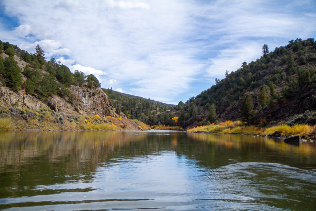
Photo Credit: Juliet Studness
Sources Cited
“Next Generation Water Observing System: Upper Colorado River Basin Active.” Next Generation Water Observing System: Upper Colorado River Basin | U.S. Geological Survey, https://www.usgs.gov/mission-areas/water-resources/science/next-generation-water-observing-system-upper-colorado-river.